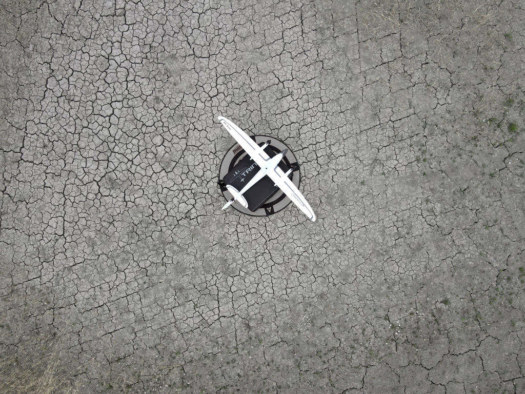
In October 2021, MW Group’s business area Geospatial Services deployed a remote sensing team to Trollstigen to support the Norwegian government’s ongoing efforts to develop an avalanche surveillance program using small unmanned aircraft systems and lidar.
Following two days of surveying in challenging weather including high winds, snow, and ice, MW Group prevailed to deliver the high-resolution digital terrain models and digital elevation models vital to the research conducted by the Norwegian University of Science and Technology for the Norwegian Public Roads Administration.
The success of this program will enhance society’s ability to live in areas prone to isolation following avalanches and prevent loss of life through effective avalanche countermeasures.
Anthony Randall-Clausen
Head of MW Geospatial Services
E: anthony.randall-clausen@mw.group
M: +45 31 70 04 23


